
This hurricane season may turn out to be "extremely active," according to initial outlooks released in April.
Colorado State University's (CSU) tropical meteorology project releases the first …
This item is available in full to subscribers.
Please log in to continue |
This hurricane season may turn out to be "extremely active," according to initial outlooks released in April.
Colorado State University's (CSU) tropical meteorology project releases the first forecasts for the season each spring. This year, their prediction is for activity "well above the 1991-2020 average," forecasting 23 storms, including 11 named hurricanes and five that will churn into major storms of Category 3 or stronger with an "above-normal confidence for an early April outlook."
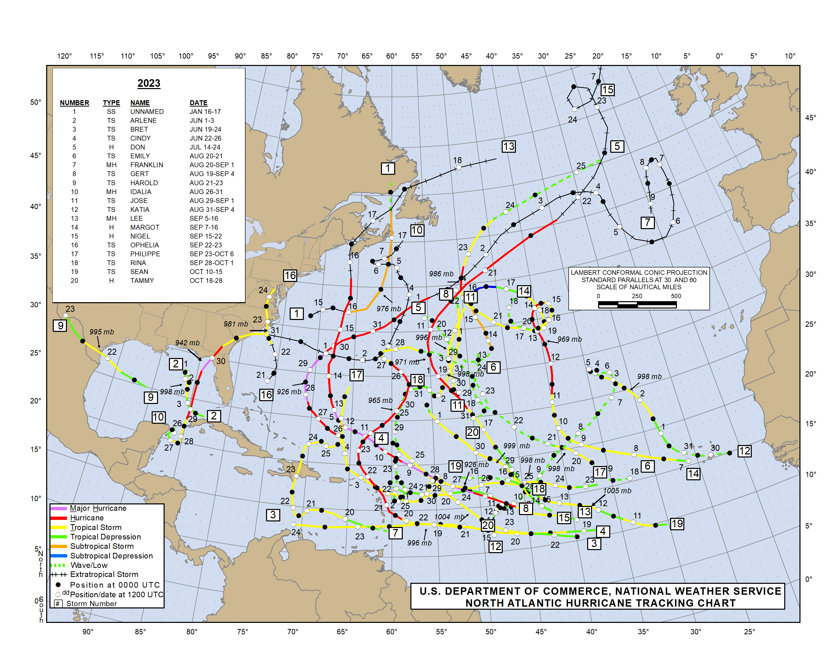
The average is around 14 named storms and three major hurricanes. The outlook for this season, which officially runs June 1 through Nov. 30, is also above the 20 storms, seven hurricanes and three major storms tallied in 2023, the fourth-busiest season since 1950, according to the National Oceanic and Atmospheric Administration (NOAA).
CSU's outlook includes probabilities for at least one major hurricane to make landfall on different coastal areas. It marks a 62% chance for a landfall on the entire continental U.S. coastline, with the average being 43%. There is a 34% chance for a landfall on the U.S. East Coast, including Peninsula Florida (south and east of Cedar Key, Florida), with a 21% average, and a 42% chance that the Gulf Coast and Florida Panhandle, above an average of 27%, will get a direct hit.
"As with all hurricane seasons, coastal residents are reminded that it only takes one hurricane making landfall to make it an active season," the CSW report warns. "Thorough preparations should be made every season, regardless of predicted activity."
While these early outlooks almost certainly change, the report notes, it is important to be aware as early as possible.
The beginning of hurricane season is marked by the warming of Atlantic waters to around 80 degrees. In general, without weather outliers or other variables, the warmer and deeper the ocean is, the stronger a hurricane can form.
While the official start remains June 1, named storms have been forming earlier, and water temperatures in the North Atlantic Ocean — and the globe — have been breaking heat records for months on end.
According to NOAA and other outlets, last month was the warmest March in the planet's climate record of 175 years and the 12th month in a row that Atlantic water reached record highs for that time of year. North America had its ninth-warmest March and fourth-warmest January-March on record.
2023 was the warmest year on record, according to an analysis by NOAA's National Center for Environmental Information scientists.
"Sea surface temperatures in the eastern and central Atlantic are currently at record warm levels and are anticipated to remain well above average for the upcoming hurricane season," the CSU report states. "A warmer-than-normal tropical Atlantic provides a more conducive dynamic and thermodynamic environment for hurricane formation and intensification."
Building on warm global and water temperatures is the predicted switch from El Niño to La Niña conditions, characterized by a decrease in vertical wind shear, which favors Atlantic hurricane activity, "by the peak of the Atlantic hurricane season."
Tropical activity was below average in March, NOAA reports indicate, with four named storms swirling across the globe. The average is six. The only major storm, Severe Tropical Cyclone Neville, brought high surf to coastal northwest Australia, and two other storms in the South Indian Ocean impacted Africa.
If these early predictions come to fruition, the season will run past the 21 names identified for 2024. That has happened only twice: in 2005, the 28-storm season that brought Hurricane Katrina to New Orleans as well as Rita and Wilma, and 2020, which saw 30 storms including a direct hit from Hurricane Sally to Gulf Shores.
A set of six lists of names cycles through rotation. The only time there is a change in the list is when a storm name is retired because it is so deadly or costly that "the future use of its name for a different storm would be inappropriate for reasons of sensitivity," according to NOAA. When that happens, the World Meteorological Organization selects a replacement.


